Thursday, June 27, 2019

  
Image: United States Department of Agriculture 
Natural Resources Conservation Service Web Soil Survey
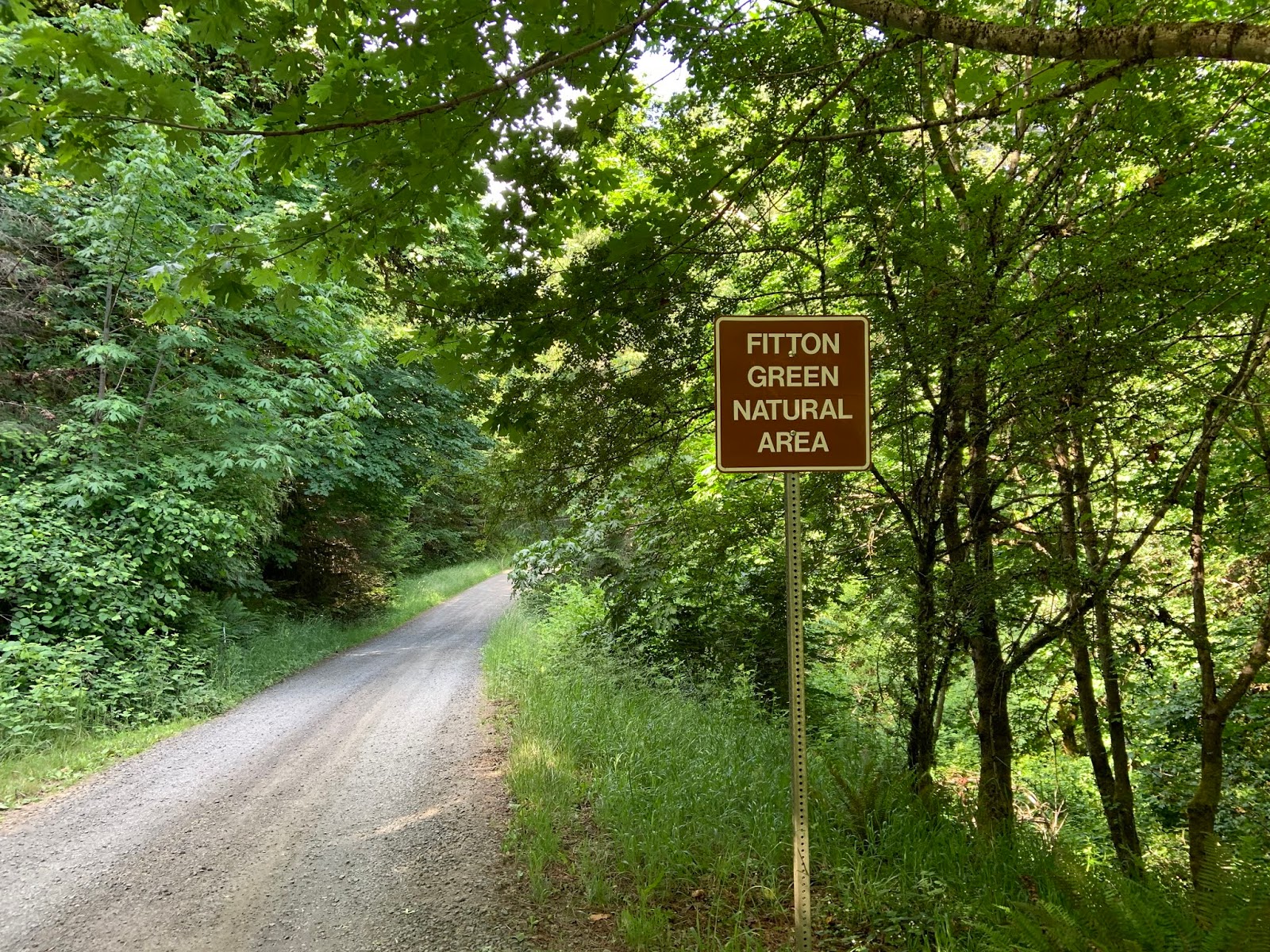
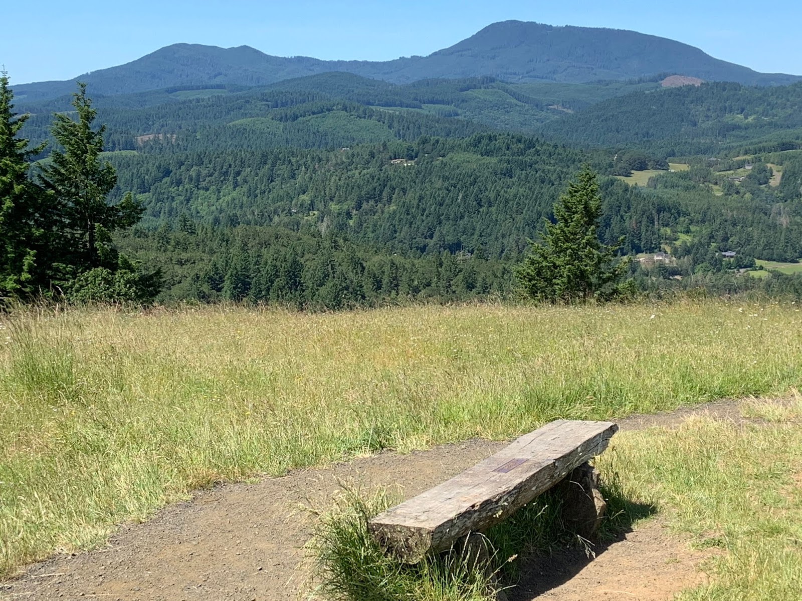
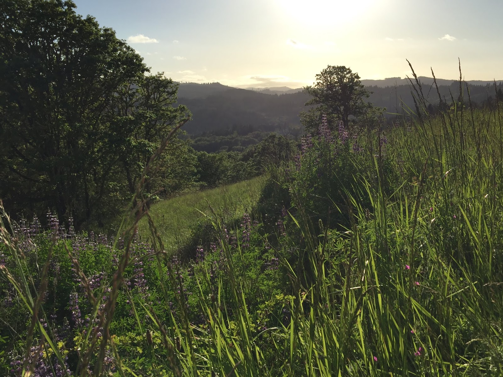
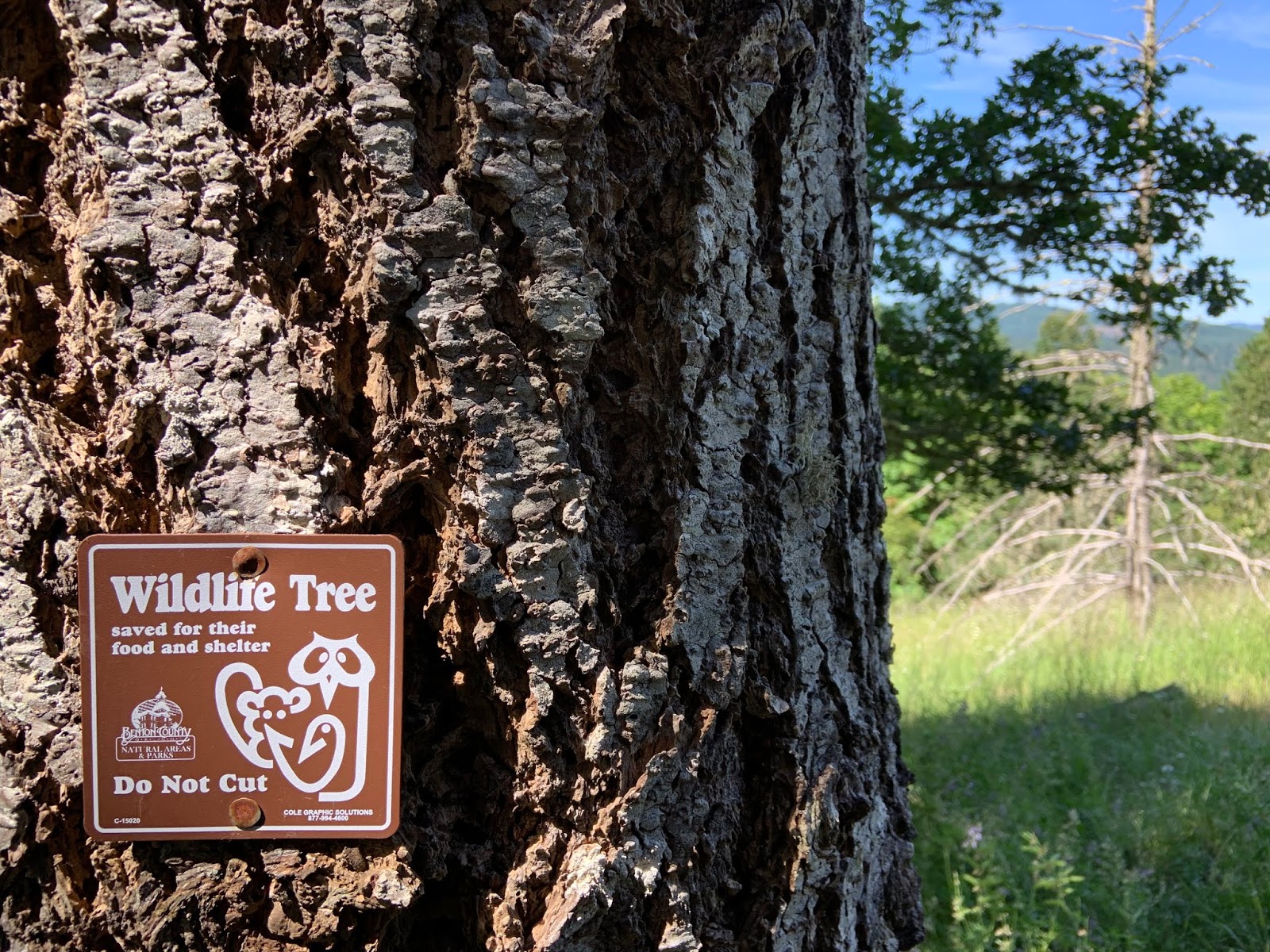
Fitton Green Natural Area 33721 to 33723 Mary's River Estates Rd. Philomath, OR Benton County (central location at orange flag). 

Searching through NRCS Web Soil Survey has been a growth experience as a new user.  Starting with the 'Area of Interest' tab, I entered the address listed online for Fitton Green Natural Area 33721 to 33723 Mary's River Rd, Philomath, OR 97370.  After entering state and county under soil survey area link, it showed the area symbol OR003 with data availability as tabular and spatial complete. Then listed is the versions Survey Area: Version 16, Tabular: Version 14, Spatial: Version 3, all dated Sept.18, 2018.  The digital versions of data are up-to-date with very detailed information which is useful for land-use planning for both economic and recreational activities and conversation efforts.
Next, I navigated to one of the features of the web soil survey Area of Interest (AOI) Interactive map and the tab 'Define AOI by Rectangle.'  Above is the image which delineates the boundaries of the landscape. When I created the AOI, it was a very rough estimate of what appears to be the general area but is by no means accurate.  As a first time user, I'm not even sure if I was doing it correctly.  What I believe could be improved is to have a more vivid flag at the site for viewers to see.

The 'Soil Map' tab is accessible after entering the AOI. Under the meandering delineations of soil types highighted in orange, the flag which indicates the location of Fitton Green is surrounded by a delineation with the number 137.   From there I accessed the 'Properties and Qualities Ratings with links to detailed information; soil chemical properties, soil erosion factors, soil health properties, soil physical properties, soil qualities and features, and water features.  I found a listing of various soil types including the soil type for area labeled 137.  The dominant soil is listed under 'Map Unit Legend' as 'Price-MacDunn-Ritner complex, 30 to 60 percent slopes.'


Exploring more, I found I could click onto 'Report-Map Unit Description.' Under 137-MacDunn-Ritner complex, 30 to 60 percent slopes, are map unit setting, map unit composition, description of price with setting and typical profile.  It was interesting to see on map unit setting the mean annual precipitation at 50 to 70 inches, mean annual air temperature at 48 to 54 degrees F and under farmland classification as 'not prime farmland.'   Of special interest to me was the link 'soil erosion factors' as it relates with soil erosion at Fitton Green.  This community park was previously logged and as a result soil erosion is a concern.  Understanding the dynamics of soil gives planners a detailed perspective on how to manage and monitor the landscape.


Web Soil Survey (n.d.) United States Department of Agriculture

Retrieved from
https://websoilsurvey.sc.egov.usda.gov/App/WebSoilSurvey.aspx


Tuesday, June 25, 2019


There are a broad range of evidence-based, credible sources which point to the impacts of global climate change.  Within the context of this blog, here are some resources which examine the impacts of these anthropogenic pressures on the Pacific Northwest USA.  There are a variety of images which help viewers understand climate change patterns through spatial and temporal scales.  These resources with maps illustrate changing climate patterns which indicate longer summers with higher temperatures and extreme weather events on the West coast.  Increased frequency and severity of wildfires from extremely dry seasons is a threat as wildfire regimes have undergone major alterations with fire suppression from urban development.  Other impacts of climate change are more severe storms, increased precipitation and rising sea levels.

Sea Level Rise for the Coasts of California, Oregon, and Washington: Past, Present and Future (2012) The National Academics of Sciences, Engineering and Medicine

Retrieved from
Liberto Di, Tom (2017) Heat wave scorches the Pacific Northwest
Retrieved from
Liberto Di, Tom (2015) Wildfires burn up western North America
Retrieved from
Liberto Di, Tom (2015) This summer’s West Coast algal bloom was unusual.  What would usual look like?
Retrieved from

NCA Education Resources for the Northwest Region (n.d.)
Retrieved from

Wednesday, June 5, 2019


                    What is Biodiversity?


Fitton Green Natural Area, Benton County, Philomath,Oregon Photo: Siobhan Van Lanen 


A healthy planet depends upon biodiversity to sustain all life. Biodiversity is the planet Earth’s interconnected and interdependent vast network of biological communities, from species and ecosystems to the variety of genes enabling species populations and survival.  Biodiversity is the interaction and relationship between living organisms, plants and animals inhabiting ecosystems and adapting to changing environmental conditions, ecological systems and processes of evolution that support life. It can also be described as the relationship that humans from diverse cultural backgrounds have with the landscapes they inhabit.  Diverse human cultures interacting with their environment is an important social component of biodiversity.  Back in the 1980s, the word biodiversity was associated most with species richness but evolved to ecosystem and genetic diversity. Research programs were designed to understand the three levels of biodiversity. (Valera, Bertolaso, 2016) 
  
From microbes to terrestrial and marine biological communities, a variety of species and ecosystems and genes are essential for long-term environmental and human health. In 2005 the Millenial Ecosystem Assessment established a framework for the values humans place on nature and coined the term ‘ecosystem services’ which identifies and categorizes four categories of ecosystem services: provisional (food, shelter, medicine), regulating (climate and disease control), supporting (cycling of nutrients and pollinators), and cultural (recreation, education, culture, spiritual/religious).  All ecosystem services are important for social and ecological resilience with (Australia State of the Environment, 2016). The Millenial Ecosystem Assessment builds a strong foundation in the importance of preserving and protecting biodiversity for social and ecological resilience with environmental threats like climate change, pollution, habitat loss and invasive species.


Fitton Green Natural Area, Benton County, Philomath, Oregon  Photo: Siobhan Van Lanen

The preservation of biodiversity from accelerating anthroprogenic pressures needs to be addressed on a broad spatial scale.  Individual actions and social responsibility are a crucial part of conservation solutions but policy-making on a local, regional and national and international level which engages a variety of stakeholders over political boundaries is necessary to protect biodiversity.  There is a need for a formal process of regulating economic activities revolved around short-term monetary gain which result in long-term environmental impacts. (California Academy of Sciences, n.d.) The development of local, regional, national and international policy is essential to protect biodiversity from irreversible damage from excessive resource extraction that provide short-term monetary benefits to a very few.  Regulation of logging and strip mining in species-rich ecosystems are an important part of some policies and trade limits on natural resources require enforcement. 

In order to protect biodiversity on all scales, governments need economic pressure put on them.  Policies need to be developed to protect biodiversity all around the world that counter the economically-based policies and treaties that result in the loss of biodiversity. Recycling programs, 'adopt a highway' litter control, local public parkland monitoring, beach clean-ups, plastic bag bans, and community gardens are examples of formal local policies that encourage stewardship. (California Academy of Sciences, n.d.)  A bottom-up approach is part of the solution.  

Developed countries can participate in biodiversity preservation through limiting consumptive behaviors and reducing resource-intensive lifestyles that result in environmental degradation.  Regulation of citizens' wide-use of plastic is essential to reduce plastic pollution degrading marine ecosystems and species.  Examples of regional biodiversity stewardship to reduce plastic pollution is the single-use plastic bans recently implemented in Seattle, Washington and Portland, Oregon.  International and local policies need to be enforced to regulate the over-use of plastic.  Scientific data and research are important for decision making processes and primary studies, field work documentation and citizen science projects help to contribute data confirming the importance of biodiversity preservation and provide evidence-based research that document current anthroprogenic threats. (California Academy of Sciences, n.d.)


References
Valera, Luca.,& Bertolaso, Marta (2016). Understanding Biodiversity From a Relational Viewpoint Topicos, Revista de Filosofia 51, pp.37-54.


The Importance of Biodiversity (2016) Australia State of the Environment Web site: Retrieved from


Welcome to my Biodiversity Stewardship
 Study: Fitton Green Natural Area
Fitton Green Natural Area, 33721 To 33723 Marys River Estates Rd. Philomath, OR 

 Photo: Siobhan Van Lanen  Fitton Green Natural Area


      On this unpaved path immersed in my senses 
in the moment with nature I experience unity with life.


Panorama Drive Trailhead: Fitton Green Natural Area  Photo: Siobhan Van Lanen June 9, 2019
I visit open spaces for solace and feel a sense of place here. The 308 acre Fitton Green Natural Area located at 33721 To 33723 Marys River Estates, Philomath, OR. 97370 is part of the Mary’s River Watershed.  The view from the grassy ridge-top is spectacular with a panoramic perspective from Corvallis to Philomath to Mary’s Peak.  There are a variety of unpaved trails with levels of challenge and elevation gains. Fitton Green fully activates my biophilia.  Grateful to live in close proximity to Fitton Green with public access from Cardwell Hill Dr., I chose this study area because I love spending time here walking and hiking in the mixed conifer and hardwood forest woodlands and oak savannah. I'm enamored with Bleeding Hearts and Lupine in the Spring time and golden sunsets over Mary's Peak which sets a purple hue to the rolling foothills of the Pacific Northwest coast.

 In the midst of accelerating urban sprawl, this open space has significant heritage and biological value.  Considered a sustainable forest and community park for low-impact, passive outdoor recreation use, it became accessible to the public in 2003 as a land acquisition with the generosity of Elsie Fitton Ross and Charles Ross who established the Greenbelt Land Trust.  Benton County Natural Areas and Park Department manages Fitton Green (Benton County Natural Areas, n.d.)   Preserving remnant old oaks, maples and conifers, restoring oak savannah vegetation and wildlife habitat are important components of biodiversity stewardship that I’m interesting in exploring.


                            Fitton Green Alan Throop Loop Trail  Photo: Siobhan Van Lanen June 9, 2019
Fitton Green natural area is in a north-south linear-shape and at the southern ridge-top, narrows to a width of 180 ft where there is a residence. (Benton County Natural Areas, n.d.) This open space is covered with oak and grassland, mixed Douglas-fir and hardwoods, grasses on rolling meadows.  Greenbelt Land Trust website describes the landscape as “…productive Douglas-fir clad slopes, lush mixed riparian forests, oak woodlands and savannahs, and moss draped maple groves, with old forest remnants, well-managed conifer stands, young plantations, and open meadows of rare upland prairie.” (Greenbelt Land Trust, n.d.)  This biological community is habitat for rare Taylor’s checkerspot butterfly, cougar, woodpeckers, elk, raptors, coyote, songbirds and blacktail deer. (Greenbelt Land Trust, n.d.)  At the northernmost hill is riparian forest habitat for wildlife along a stream.


                                  Fitton Green, Benton County, Philomath, OR Photo: Siobhan Van Lanen 2017

The Benton County Natural Areas and Parks Department has a prairie species habitat conservation plan that includes a variety of flora and fauna; Bradshaw’s Lomatium, Fender’s Blue Butterfly, Kincaid’s Lupine, Nelson’s Checkermallow, Peacock’s Larkspur, Taylor’s Checkerspot and Willamette Daisy. (Benton County Natural Areas and Parks, n.d.)  There is ongoing concern for non-native plant species such as Blackberry, Scot’s Broom, and thistle invading the common ground vegetation of grassland which is 54% of the ground cover (Benton County Natural Areas, n.d.)  Air and water purification, recycling of nutrients and soils are important for healthy ecosystems that sustain biological communities and human economic activities.  Fitton Green offers many benefits to sustaining environmental and human health and quality of life. 

At the Panorama Dr. trailhead, there is a parking lot with enough space for close to 8 vehicles and an interpretive center with a map of the trail complex between Fitton Green, Bald Hill Farm and Park and Crestmont Land Trust.  The map illustrates trail features including ADA accessible, parking, restroom and trail-markers.  There is also signage from the Benton County Natural Areas & Parks Rules and Regulations for public park use.  Contact numbers and websites are provided for Benton County Natural Areas and Greenbelt Land Trust and Mary's Peak Group of the Oregon Sierra Club for volunteer work information. 


                          Interpretive Center at Panorama Drive Trailhead Photo: Siobhan Van Lanen, June 9, 2019

There are two ground markers.  One states that the park is closed Oct.31-April 15 to horses and bicycles. The other that leashes are required for pets on the trails.  The Alan Throop Loop Trail is the unpaved trail that begins at the parking lot.  On the descending part of the trail in the open grassland is a sign that encourages stewardship for endangered and threatened wildlife habitat protection.   Further down when the trail evens out there is an evacuation route trail-marker pointing to another unpaved trail.   At the end of the loop on Alan Throop Loop Trail, there is a trail-marker that points to the Mulkey Ridge Trail, one I hope to explore.


                            Signage located on Alan Throop Loop Trail Photos: Siobhan Van Lanen, June 2019

     Map: Benton County Natural Areas and Parks, (n.d.)


References
Fitton Green Open Space Management Plan (n.d.) Benton County Natural Areas and Parks Web site: Retrieved from
Fitton Green Natural Area: Wildlife and Plants. (n.d.) Green Belt Land Trust Web site: Retrieved from
Fitton Green Natural Area Park Description. (n.d.) Benton County Natural Areas and Parks Web site: Retrieved from
Prairie Species Habitat Conservation Plan-Species list. (n.d.) Benton County Natural Areas and Parks Web site: Retrieved from
Retrieved June 3, 2019